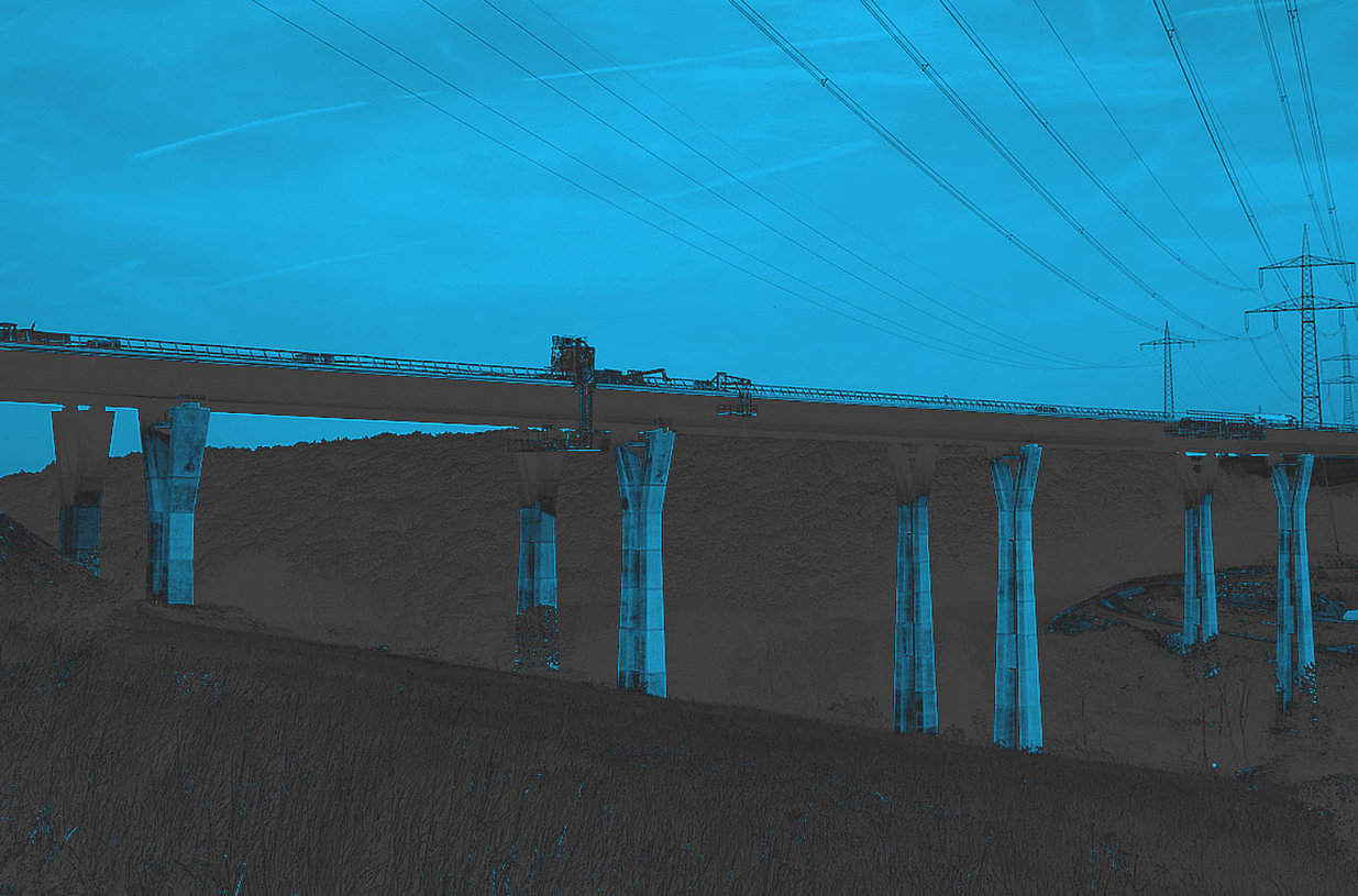
To track damage, site managers and all those responsible for construction have so far walked the road with a measuring wheel and measured each centimetre individually. All damage was recorded manually and transferred to spreadsheets.
VIA IMC has developed a digital program to optimize damage recording - customized to the requirements of site managers.
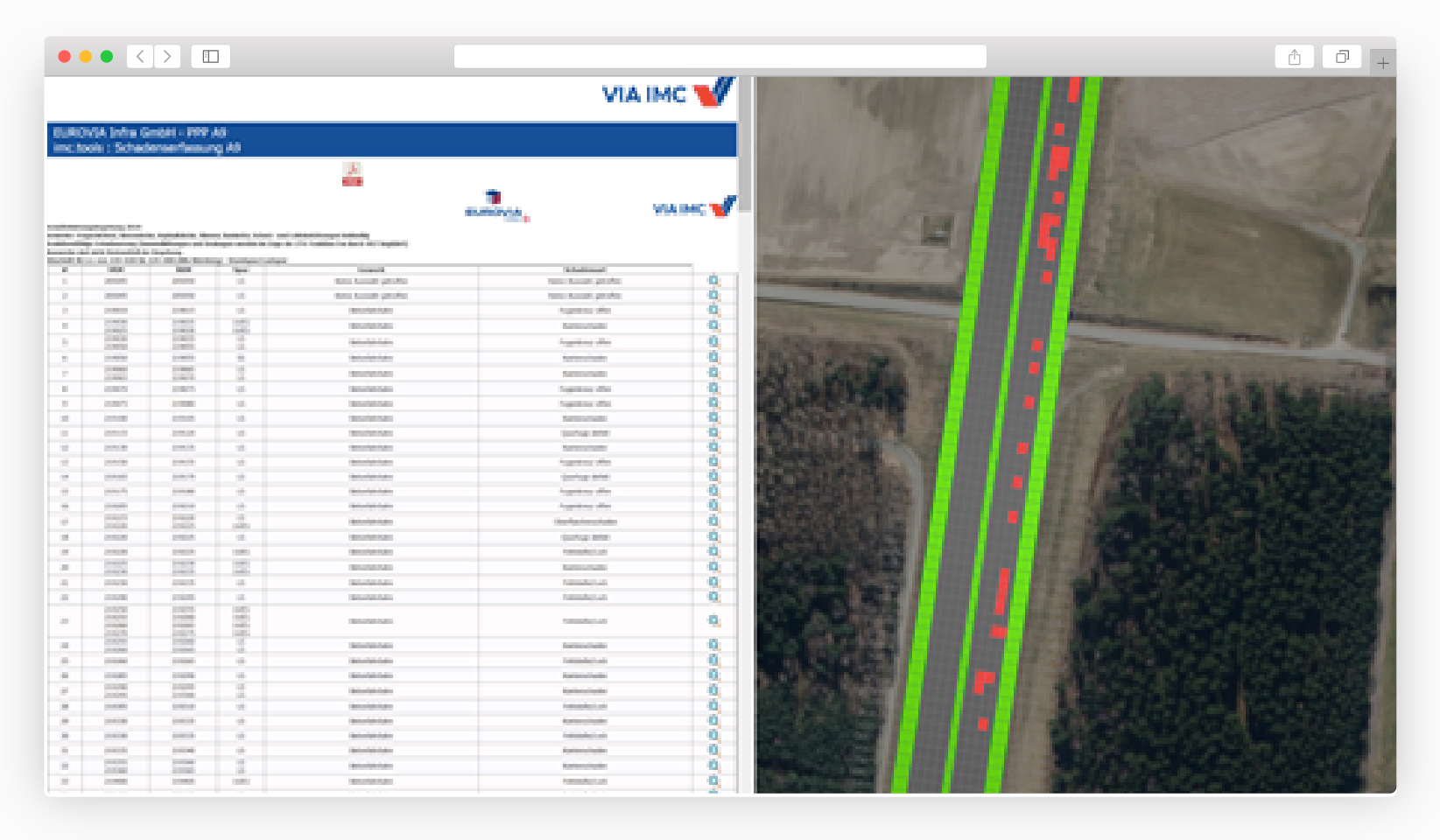
The recording tool describes and illustrates the damage to the component and the extent to which the damage has already spread. The program compares images and information of damage and components with data from a damage catalogue. This database lists more than 1000 damages and information about the condition of components.
Less effort for data evaluation
Site managers and all those responsible for construction no longer have to search for the entered component manually in a spreadsheet. They no longer have to walk along roads to see where each component is damaged. The tool guides them directly to the damage - mobile, digital and in real time. The "real world" on the road merges with the "digital world" on the screen.
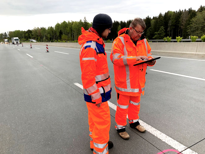
The recording software is installed on tablets with a GPS receiver. Component damage is measured to the nearest centimeter.
The digital damage tracking tool from VIA IMC offers the following functions:
-
Damage tracking with a precise measuring device
-
Selection of damages via an extensive damage catalogue
-
Direct assignment of damages with detailed information and photos
-
Referencing of components: Each damaged component receives a coordinate
-
Referencing of geo data: Each damage is displayed with its coordinates via satellite images and on maps.